
Joy Valley Nature Preserve was established in 2025, the result of Athens Conservancy and The Nature Conservancy working together to conserve nearly 3,000 acres of forested land in the southern Ohio foothills of the globally significant Appalachian Mountains. The endeavor marked one of the largest private land-protection initiatives by nonprofit organizations in the state’s history
By making an extraordinary donation, private landowner Betty Lowe – whose family owned the land for a century – transferred ownership of the 2,973-acre parcel to Athens Conservancy. The Nature Conservancy holds a permanent conservation easement on the property. This collaborative approach to conservation provides two layers of protection for the land, reflecting the Betty Lowe’s vision for the future of the property.
The remarkable parcel of land is abundant in natural beauty, rugged history, and environmental treasures. The land-protection initiative has far-reaching impact beyond the local southeastern Ohio forests. The expansive property is part of the Appalachian Corridor, one of the world’s most climate-resilient, biologically diverse, and carbon-rich landscapes on Earth.
The vast Joy Valley Nature Preserve is in northern Athens County and southern Morgan County; it sits within the unglaciated Appalachian Plateau of southeastern Ohio and is habitat for Appalachian hardwood forest systems crisscrossed by headwater tributary streams of the Ohio River Watershed. This lush property is a vital link to the 2,000-mile Appalachian Mountain range that runs from Alabama to the Canadian Maritime Provinces.
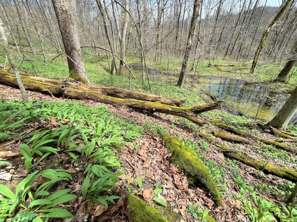
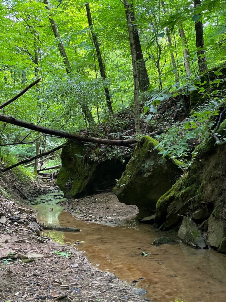

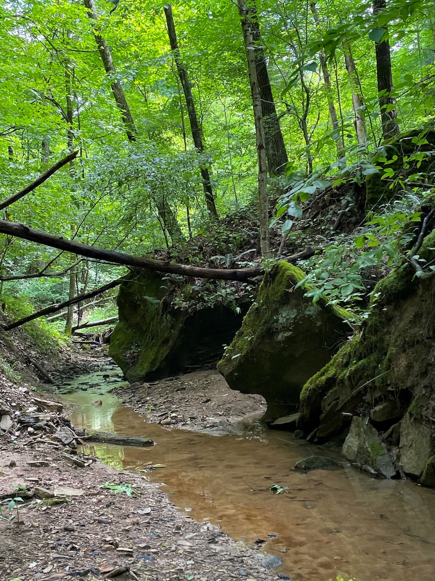
Hardwood forests cover more than 88% of the expansive site, with rugged sandstone outcroppings, steep hillsides and vernal pools, recess caves and sheer cliffs, high ridge tops, and numerous ponds and stream valleys. In addition to native tree species such as white oak, black oak, scarlet oak, shagbark hickory, American beech, sugar maple, and tulip poplar, the family planted more than 300 acres of Virginia pines and white pines, and small stands of black walnut trees. A portion of the land that was mined for coal in the past has reforested.
The property also is home to some significant plant and animal species. It is an important breeding ground and corridor for many migratory birds including approximately 26 species of warbler such as the cerulean warbler, prothonotary warbler, and the black and white warbler. It also provides habitat for numerous bat species such as the federally endangered long-eared bat and eastern red bats. The property supports the state potentially threatened lance-leaved violet (Viola lanceolata) and three species on the state plant species watch list – netted chain fern (Woodwardia areolata), butternut (Juglans cinerea), and satin brome (Bromus nottowayanus).
DIRECTIONS:
From Columbus or the Athens area, traveling on Route 33, take exit 194 OH-550 E. toward Amesville, and drive for 14 miles. About 4 miles after you go through Amesville, you will see a light gray convenience store building with a sign that says “Gilcrest” at the intersection of 550 and Joy Road. Turn left onto Joy Road (which eventually becomes Old Grade Road) and drive 4.1 miles, turning left onto a small unmarked access road. Follow the access road 0.1 miles until it dead ends into a gravel parking area.
TRAILS:
Woodland Trail (Moderate): This 2-mile loop trail starts at the parking lot adjacent to Old Grade Road and Sharps Fork of Federal Creek. After a short walk through young woods, the trail crosses Old Grade Road and passes next to a well-marked gate. Most of the trail follows abandoned access roads through deciduous forest and pine plantations. A recently built section leads hikers on a narrower, winding path through mature forest with diverse spring wildflowers, a vernal pool and scenic rock outcrops. Another new spur leads to an overlook with a view across the Joy Run valley. Hikers should be aware that the trail includes a steep ascent and crosses a small creek.
Beaver Pond Trail (Moderate): This out-and-back trail (total distance 3.2 miles) starts at the intersection of Hoffman Lane. To access the trail, Sharps Fork of Federal Creek must be forded. Please ford this creek with caution. The trail ascends for the first 0.7 miles until reaching a series of abandoned coal mine ponds. The ponds serve as habitat for amphibians, reptiles, and fish, along with beavers and other aquatic vertebrates. The final 0.9 miles of the trail is flat and ends at a large pond and a bench.
Creek Trail (Easy): This 0.8-mile loop trail starts at the parking lot adjacent to Old Grade Road and Sharps Fork of Federal Creek. The trail is flat and provides a leisurely walk along the creek. A stop with a bench adjacent to the creek allows for exploring the aquatic ecosystem. The trail extends from that point through a meadow and pine forest before returning to the parking lot.
Photos above by Terry Seidel, The Nature Conservancy.